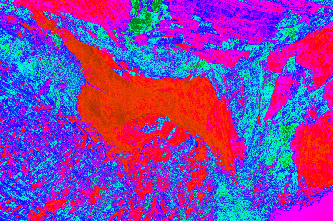
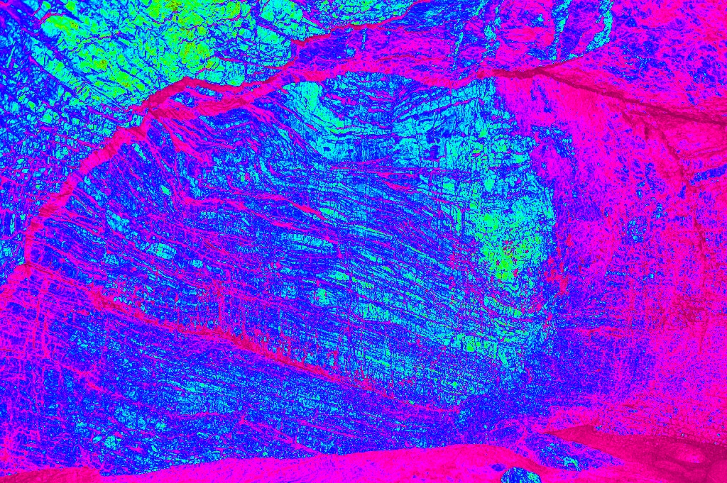
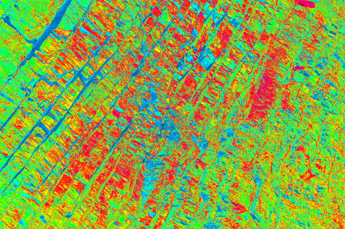
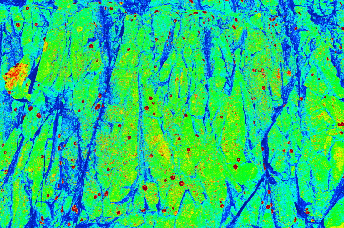
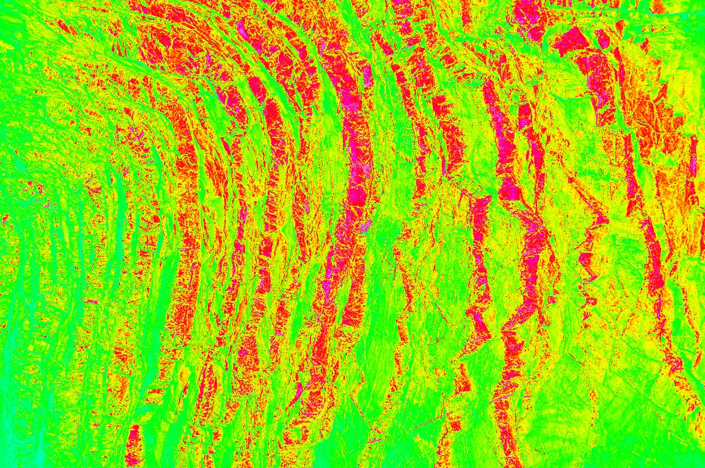
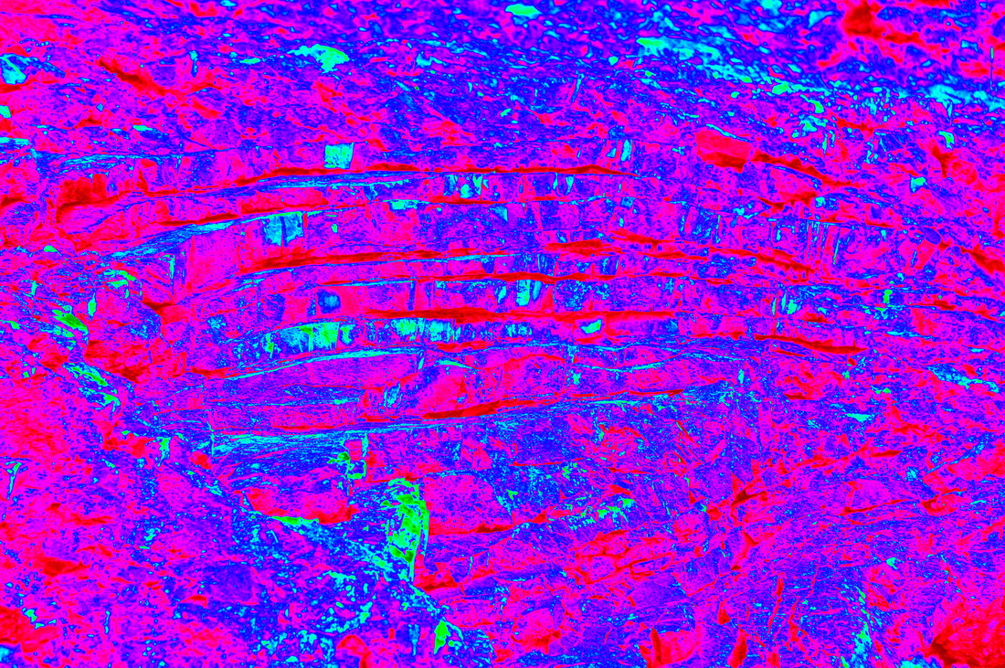
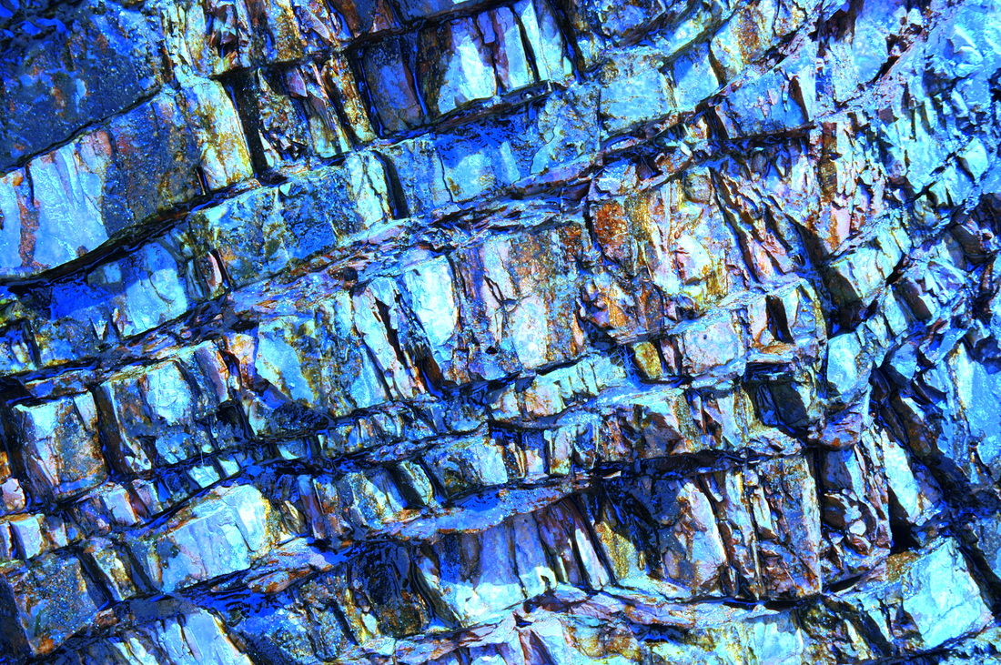
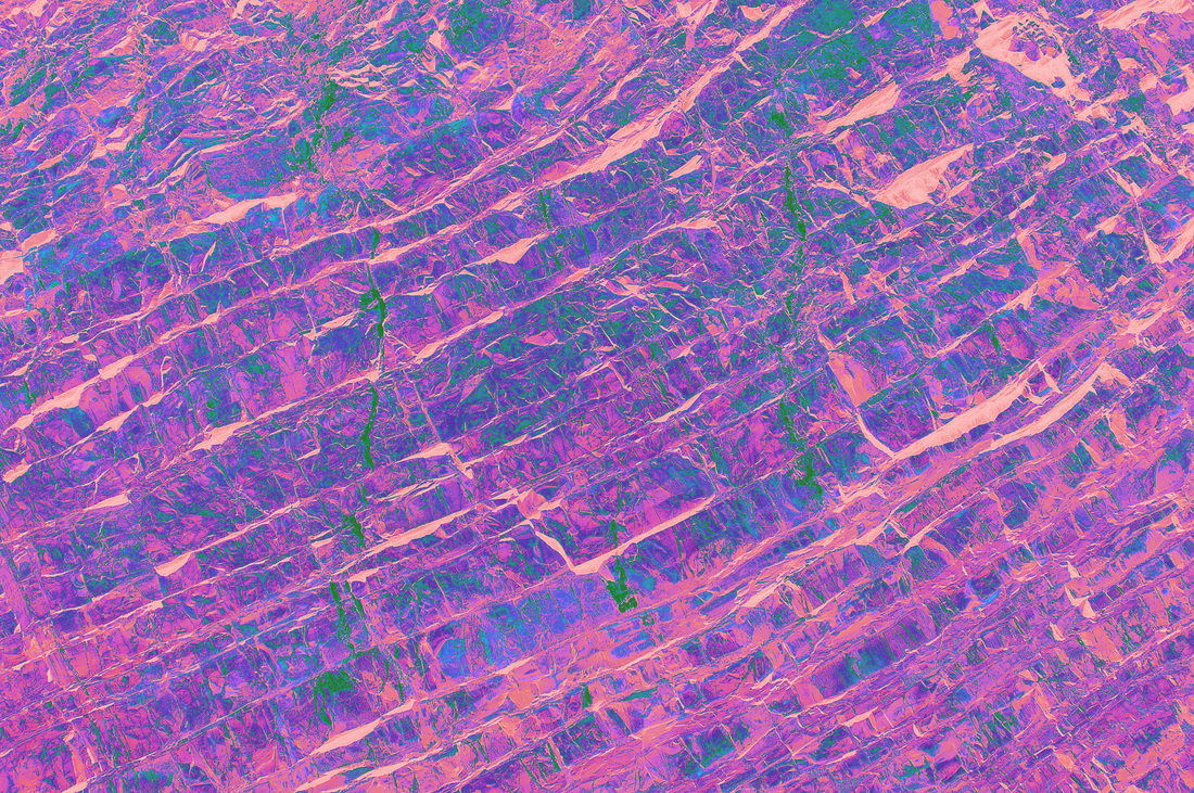
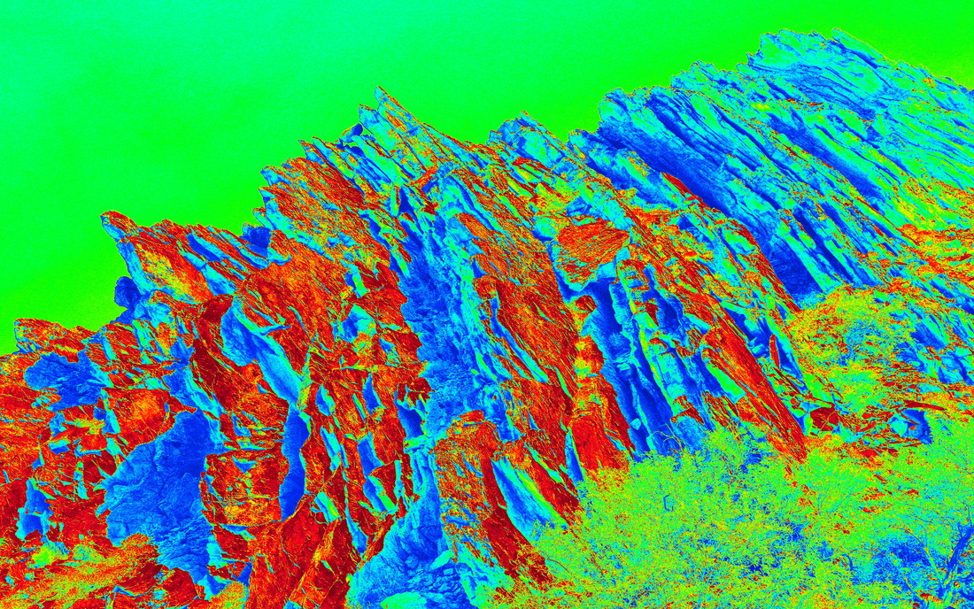
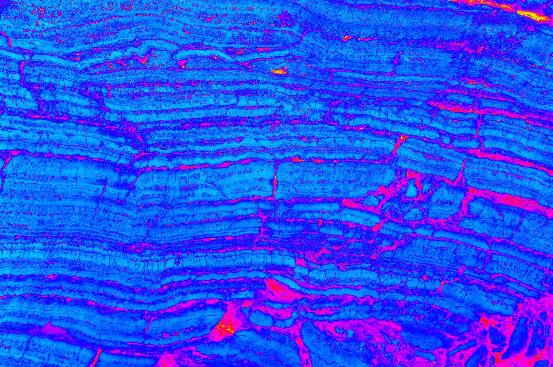
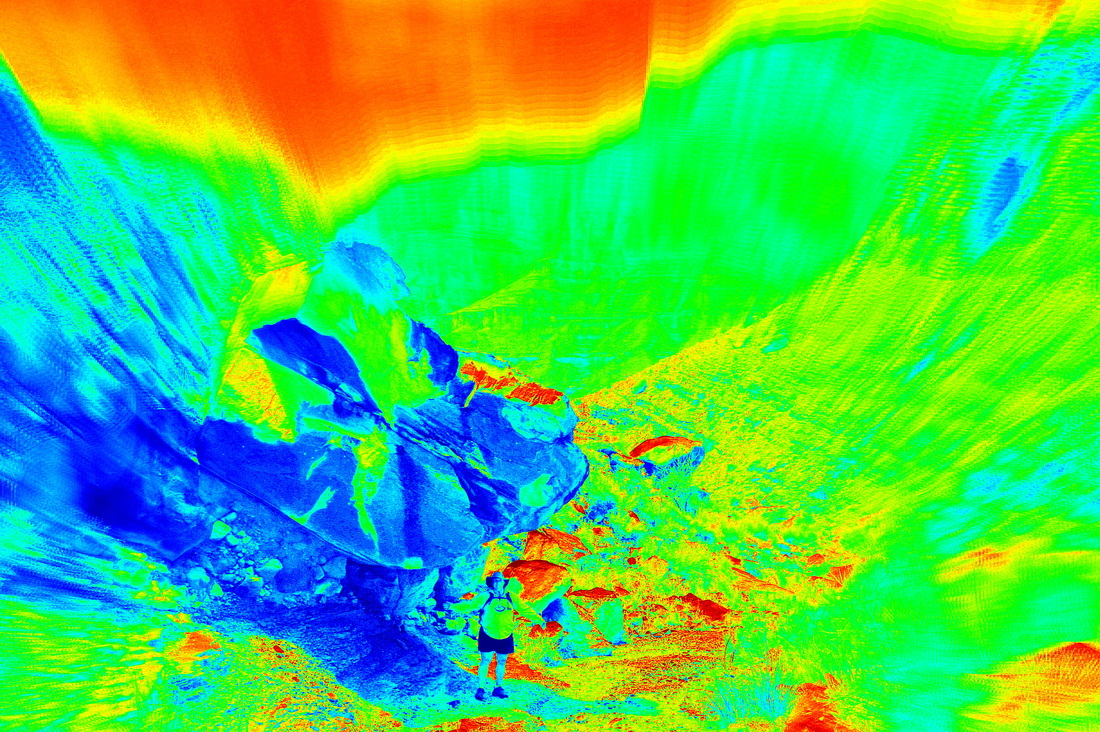
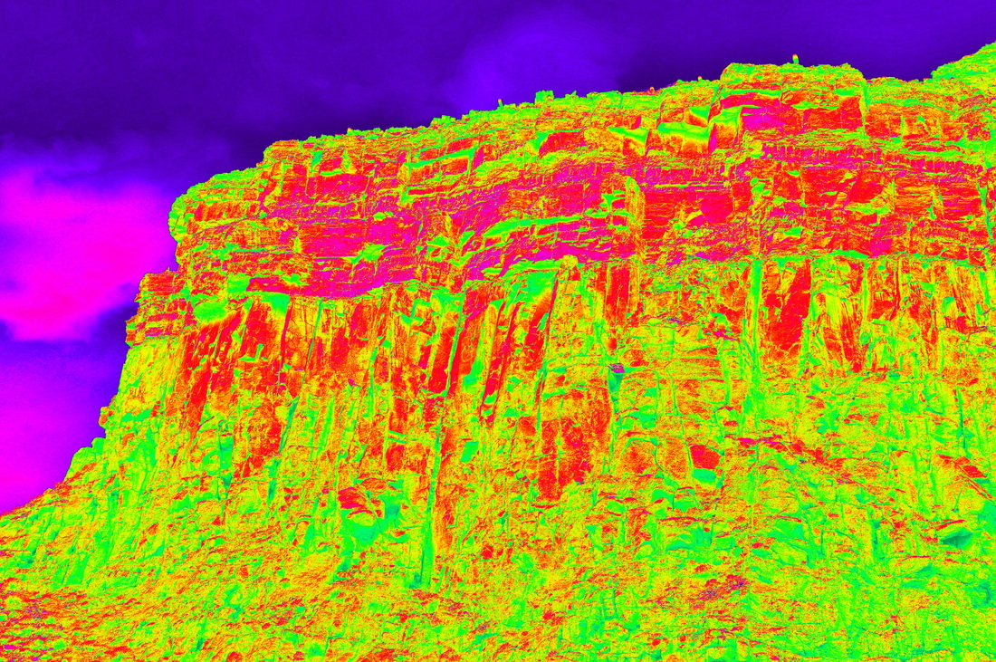
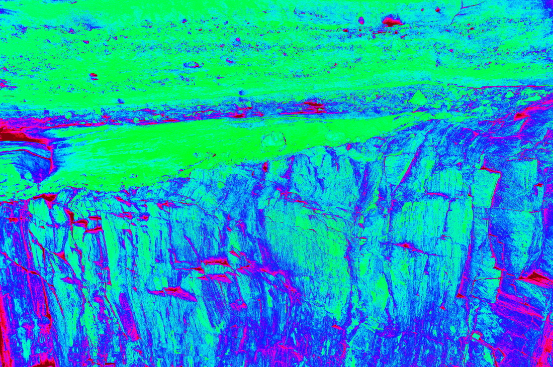
These are photographs of "everyday" rocks that I have tricked out using various options available in Google's Picasa program. In some cases, the colorific approach brings out rock fabrics that otherwise are somewhat hidden. But, mostly, these are just for fun. Sooner or later I'll post the original photographs in the "Rocks" part of the Photo Galleries web pages. I have noted the location of the original photograph, and geologic notes, and I update existing captions from time to time. You don't have to be on LSD (or anything else) to enjoy these. I last added photos (of Grand Canyon rocks) on June 27, 2013. Needless to say, these are copyrighted images.
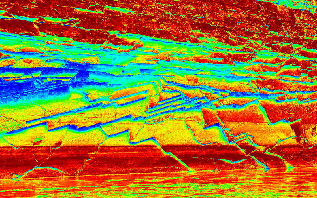
Fractures and fracture faces in JuraCretaceous Dothan Formation sandstones, east bank of the Chetco River, OR, across from the boat harbor.
Bedding, fractures, and fracture faces in steeply dipping ribbon chert, Rainbow Rock, Brookings, OR.
Another view of fractures...this one showing distinctly different orientations of fracture sets...in the Dothan Formation sandstone, east base of the Chetco River, OR, across from the boat harbor.
This is a view of a plunging small synclinal fold (its axis dips from upper right to lower left) in the awe inspiring Rainbow Rock, Brookings, OR.
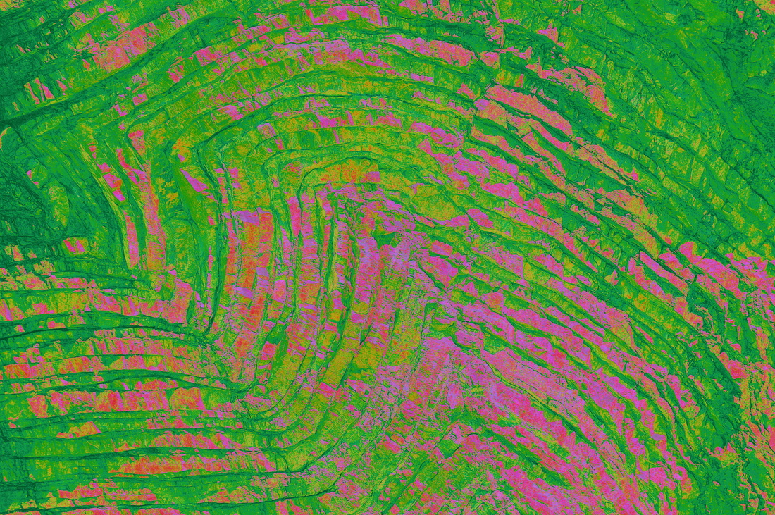
A chevron fold in thin-bedded chert, Rainbow Rock, Brookings, OR.
A close-up of fractures and bedding planes in ribbon chert, Rainbow Rock, Brookings, OR. This one is my personal favorites.
Yet another tricked-out view of steeply dipping ribbon chert, Rainbow Rock, Brookings, OR.
Vertical exfoliation of near horizontal bedding in the Permian Coconino Sandstone along the Colorado River, Grand Canyon. The horizontal color bands give evidence of previous high water levels. The sharp angles are the edges of exfoliation sheets.
A second view of the same chevron fold in thin-bedded or ribbon chert, Rainbow Rock, Brookings, OR.
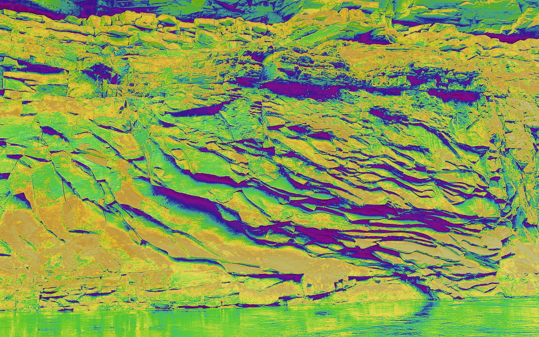
Another view of exfoliation sheets in the Coconino Sandstone. Here the sheets dip toward the river. Most of the sheets are a few inches thick.
Close up of a boulder that fell off of a cliff in the Grand Canyon. This probably is a piece of Redwall Limsetone or one of the limestones in the Supai Group. The rock is composed of chert (silicified zones) separated by fine-grained limestone (micrite).
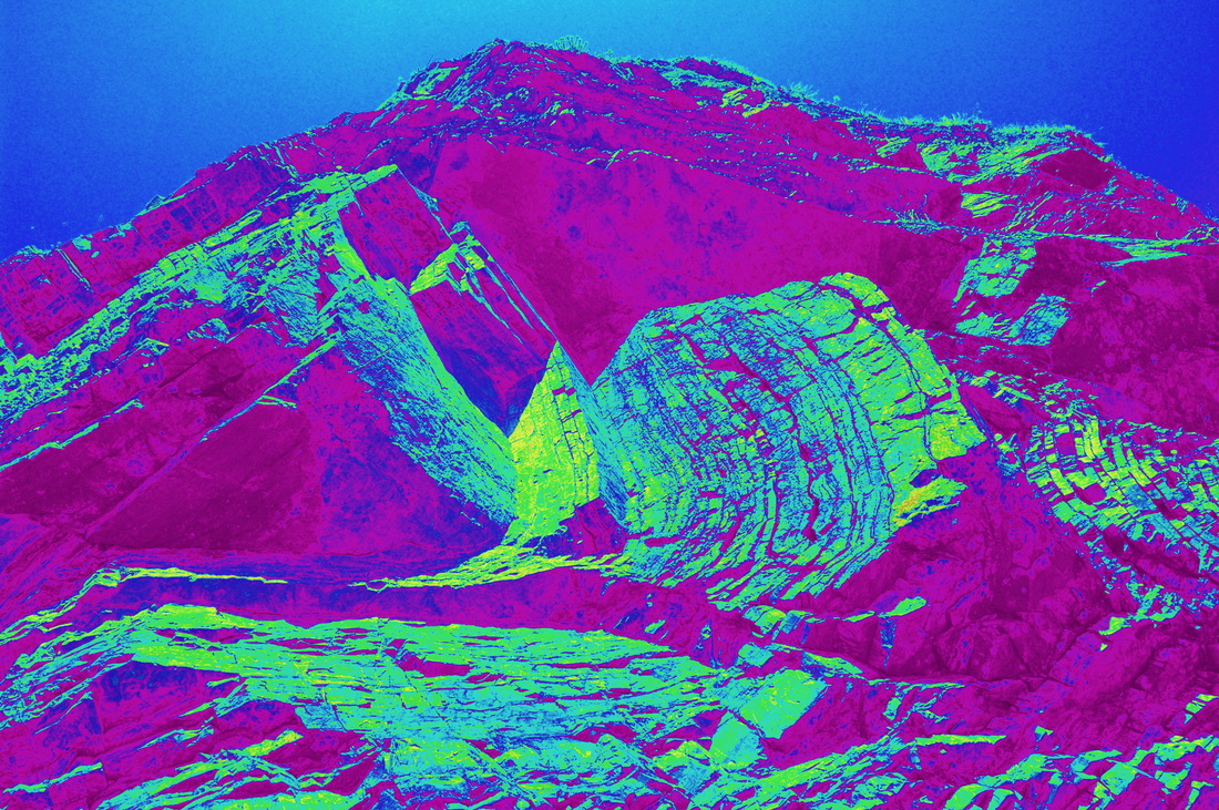
Unlike most of the other photos, which are macrophotos of rocks a few feet in size, this is a photo of upturned many-feet-thick beds in a drag fold on the upthrown side of the Butte Fault that cuts the upper end of Carbon Creek Canyon at about river mile 65 on the Colorado River, Grand Canyon. The uniform green is the sky. The rocks are Precambrian.
This spectacular image is a photo of mudcracks at the edge of the the Little Colorado River near its confluence with the Colorado River, Grand Canyon. The edge of the river is at the top of the photo, the bank at the lower edge. The mud is a beautiful pink.
This is a photo of a block of river-polished travertine (a calcium carbonate precipitate) about 3 ft square. The travertine is light blue and clastics (silt, fine sand) between the layers are fushia. From a Grand Canyon side canyon within a hundred feet of the Colorado River.
This one is too fun for words. Check out the person under the gigantic boulder resting in landslide debris. I'll get locality data posted shortly.
OK. I know it looks like a lava flow. It's not. It is the Great Unconformity of the Grand Canyon. The red is the 1.7 billion year old Vishnu Schist and the beds above are the 550 million year old Tapeats Sandstone. The "lake" is just a shadow.
The thicker mass of rock with the vertical lines is a Precambrian diabase that intruded the late Proterozoic (~1.25 billion-year-old) Bass limestone. That's the horizontally bedded unit at the top of the cliff. In the Granc Canyon with better locality data to come. The molten diabase thermally metamorphoses the bass, in places creating beautiful delicate pink and lime green layers.
This is a close up of the Great Unconformity in the Grand Canyon. The bottom rocks are the Vishnu Schist (1.7 by old) the bright green and all above are 550 my old quartz-rich (arkosic) conglomerate and sandstone lying on the nearly PLANAR surface on the schist. HOW DO YOU DO THAT???? The schist might have been uplifted to its present elevation from a depth of 22 to 25 miles! Process that!