Busch Geotechnical Consultants
  • Home
    • Contact Information
    • Contact Form
    • Firm Capabilities
    • Principal's Vitae
    • Firm History
    • BGC's Former Arcata office
    • BGC's Harbor office
  • Services
    • Services--Lay Description
    • Services for Realtors, Homeowners, and Developers
    • Services for Design Professionals
  • Service Areas
  • Past Clients & Jobs
    • Photo Examples (working)
    • Firms, Cities, Counties
    • Water Tank Jobs
  • Photo Galleries
    • Rocks
    • Rocks on LSD
    • Oops!
    • Beach Features
    • Guest Contributions
  • Recent Work
    • 2017 Jobs
    • 2016 Jobs
    • 2015 Jobs
    • 2014 Jobs
    • 2013 Jobs
    • 2012 Jobs
    • Case Histories
  • Sand Collection
    • Sand Photographs
    • Updated List of Sand Samples
    • References
  • Glossary


Busch Geotechnical Consultants provides:

"Geological Surveys" to support new construction, additions and expansions, and damage repair. 

Hazard and Risk Assessments to help an owner understand what has happened or is happening, what might happen, if the problem can get worse, what are the options.

"Soil Reports" is another way to say "Geological Surveys."  The typical soil report provides foundation-soil information such as soil types, depth to and capacity of the bearing soil, and geotechnical recommendations to support design and construction.  The owner usually files a copy of the report with the building permit application and gives one to the project engineer or designer and the contractor.

Realty Help:  Sellers.  We help sellers provide full geotechnical disclosure--addressing both good and bad aspects about the property in terms of safety and possible future problems--to minimize their liability and increase their chance of an early sale.

Realty Help:  Buyers.  We help potential buyers of a property being sold without geologic information to understand the site conditions so they can make a fully informed decision.

Picture
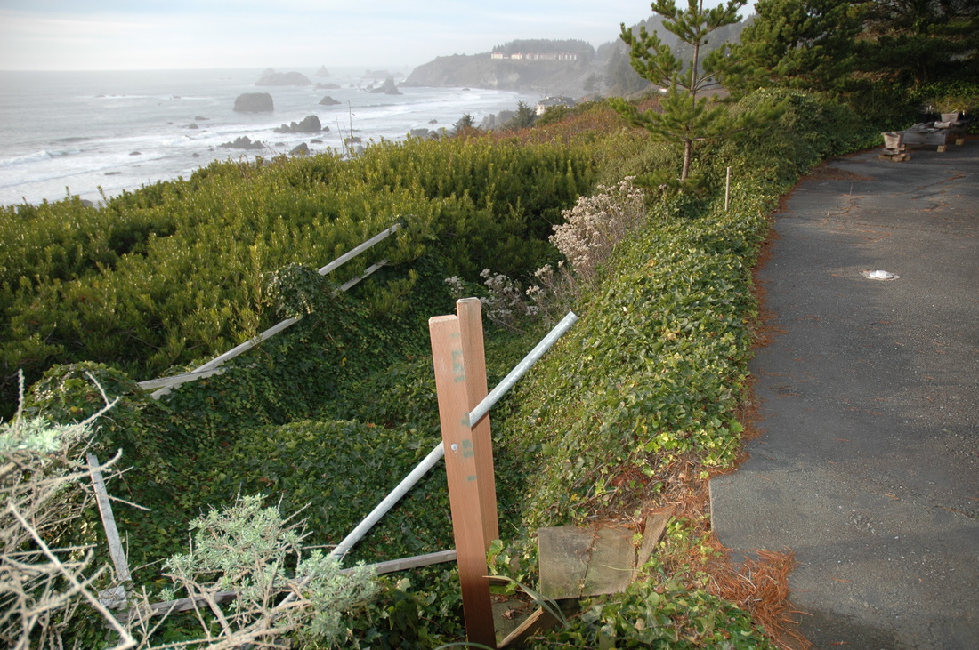
The ivy-covered mounds seaward of the asphalt used to be level with the asphalt.  For many years we have been periodically monitoring the seaward side of the home for the owners to keep them informed about changes in the ground and risk to the home.  Today (2017) the ivy and ground below is gone.  It settled and moved downslope many feet.

Picture
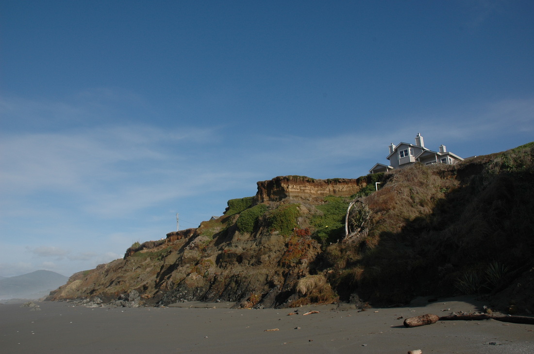
We helped the seller, a bank, understand the risk to the home to evaluate its worth following a foreclosure.  The same geotechnical report helped potential buyers determine if they were willing to accept the risk of bluff retreat and what they could do about it.  In this case, the lot is deep enough that the home can be moved back when it becomes necessary--at least if the owners act in time.

This is an educational website.
Powered by Mother Earth, Weebly, and REB